Chapter One · 1913
A Plat East of the Lake
Thornton Park's paperwork is precise. Orlando Magazine records that the subdivision plat for Thornton Park was recorded in 1913 by Dr. Albert J. Taylor and James Thornton, with original borders at Robinson Street, Central Boulevard, Mills Avenue and Hyer Avenue. A Camden Living history gives the neighborhood a slightly later birth, calling James Thornton the original developer and dating the village of Thornton Park to 1915. The plat year is the documented one: 1913.
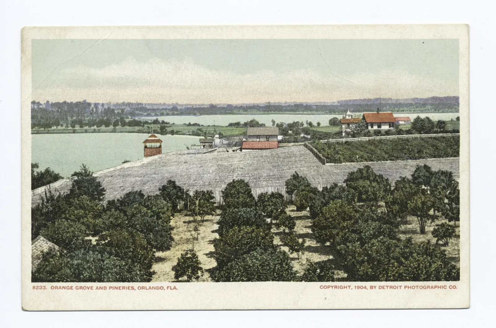
What got platted was a residential neighborhood for the streetcar and early automobile era, east of Lake Eola, in a city still living on citrus and cattle money. Early Thornton Park was home to cattle barons and citrus growers, on brick streets. The groves were not scenery. They were the economy the first residents came from.
Then and Now
The four borders on the 1913 plat still draw the district on any map: Robinson Street, Mills Avenue and Hyer Avenue around a southern edge on Central Boulevard, where the guide's Soco keeps its patio watch over the boulevard today.
Chapter Two · 1911 to the 1950s
Bungalows, Brick Streets and a Bridge
The neighborhood the plat started filled in across four decades. The City of Orlando counts Thornton Park inside its Lake Lawsona Historic District, platted and developed between 1911 and the 1950s, a bungalow district at heart: Craftsman bungalows first, with Minimal Traditional, Colonial, Mediterranean, Mission, Neoclassical and Tudor revival houses mixed along the brick streets.
The wider district's landmarks frame the growth. On Fern Creek, Dickson Azalea Park grew out of land State Senator Walter Rose bought in 1916: he platted most of his 40 acres for houses and deeded five acres beside the creek to the city for a park in 1924. When the wooden bridge over Fern Creek could no longer handle the traffic, the Washington Street Bridge replaced it in 1926, the same year East Washington Street was paved with bricks. A year later, Orlando High School opened at 800 East Robinson Street.
Then and Now
The bridge still carries Washington Street over Fern Creek at Dickson Azalea Park, and the 1927 school still stands on Robinson Street as Howard Middle School. The guide opens on the same fabric the plat era left behind: brick streets, front porches and bungalows under old oaks.
Chapter Three · The 1960s to 1996
The Long Slide, and the Comeback
The postwar arc was decline, then revival. Colonial Plaza, Orlando's first suburban shopping mall, opened about two miles away and lured people out of the downtown neighborhood, and by the 1980s the area's population and glamour had massively declined. The bungalows the plat era built were still standing. Fewer people wanted them.
Revival built from the late 1980s: historic designations pushed by longtime residents, including petitions to protect the Washington Street Bridge, and a first wave of young white collar newcomers buying and fixing up the bungalows. In 1994 the city formalized the protection, establishing the Lake Lawsona Historic District with Thornton Park inside it. Florida Trend tells the 1990s chapter plainly: Phil Rampy and Craig Ustler became a two man team buying boarded or cheap houses for $50,000, fixing them up on weekends and selling them for $150,000, and in 1996 Winter Park restaurateur Dexter Richardson opened a Dexter's at 808 Washington Street, on the site of Orlando's first Publix, which had opened there in January 1940.
Then and Now
The dining pocket the revival built is the district the guide walks today: Soco on Central Boulevard, The Stubborn Mule and its patio, Rusteak, Cavo's Bar & Kitchen and Jinya Ramen Bar, all of them working out of the streets the comeback saved.
Chapter Four · The Name
Thornton Was a Developer, Not a Rebrand
The name sounds like a 1990s rebrand. It is written on a plat from 1913. Thornton was James Thornton, the developer who recorded the plat with Dr. Taylor in 1913. That is the documented origin, and it matters because a later story competes with it: a 2005 account quotes developer Phil Rampy saying that in the early 1990s, looking at an abstract for a house he owned at Thornton Avenue and Jefferson Street, the name Thornton Park came to him, and that the area needed an identity.
The two stories conflict in emphasis, not in fact. The plat name is documented from 1913, so the Rampy story is a 1990s revival and popularization of a historic plat name, not its invention. What is not verified is Thornton the man: his middle initial, his biography, and any link to state engineering or surveying are undocumented, and one real estate page's claim of a William Archer Thornton contradicts the plat account and is not used here.
Then and Now
Thornton Avenue still runs under the developer's name through the neighborhood he platted, and the name he put on the 1913 paperwork is the name over the district guide today. The rebrand turned out to be a restoration.
The Index in the Street Signs
How the Streets Got Their Names
A plat drawn by a developer and bordered by older Orlando names confesses both in its street signs. Thornton Park's name the man who recorded it, the family that owned the lake, and the surveyor who bordered it on the north.
- Thornton Avenue: named after developer James Thornton, according to the Camden Living neighborhood history, which adds that Thornton Lane and James Street were named after him as well.
- Summerlin Avenue: carries the Summerlin family name. The South Eola neighborhood history notes that Jacob Summerlin settled in Orlando in 1873, purchased 200 acres including Lake Eola in 1874, and donated part of the land around the lake for public use in 1883, and that his family name lives on most recognizably as Summerlin Avenue. That supports the family namesake, stated as the family name rather than a separately documented street naming act.
- Eola Drive: formerly East Street, a nod to it being Summerlin's easternmost property boundary, and changed to Eola Drive in 1923. The Eola half of the name comes from Lake Eola, whose own naming is legend, told in the downtown lesson.
- Robinson Street: the northern border of the original 1913 plat. Its namesake, surveyor Samuel Robinson, is told in the downtown lesson.
- Central Boulevard: the southern border of the original plat. It was Central Avenue first, in the downtown telling.
Hyer Avenue, the plat's eastern border, has no documented namesake in the sources consulted, and no Orlando Hyer connection should be asserted without a plat or city record. Washington Street, Jefferson Street, Hillman Street, Marcy Street and Weber Street likewise have no documented naming acts here. Washington and Jefferson read as presidential, and reading is all anyone can honestly do.
The Story, On Foot
Walk It Today
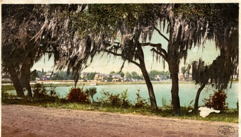
Start at the water the postcards kept framing. Walk the Lake Eola shore, then cross into the plat: brick streets, front porches, bungalows under old oaks, and a fountain on Washington Street, with the lake glittering at every block's end, exactly as the guide describes it. Head east on Washington Street to Fern Creek, where the Washington Street Bridge of 1926 still crosses into Dickson Azalea Park.
Then eat the revival. Dinner at Soco or Rusteak, a table at Cavo's Bar & Kitchen or F&D Cantina, noodles at Jinya Ramen Bar or Red Panda Noodle, and a nightcap at Outpost Neighborhood Tavern or The Stubborn Mule, whose patio fills first. Nothing on the route is a reconstruction. It is the plat, still inhabited.
Images and sources
Every photograph on this page is in the public domain. Follow any credit to its archive record.
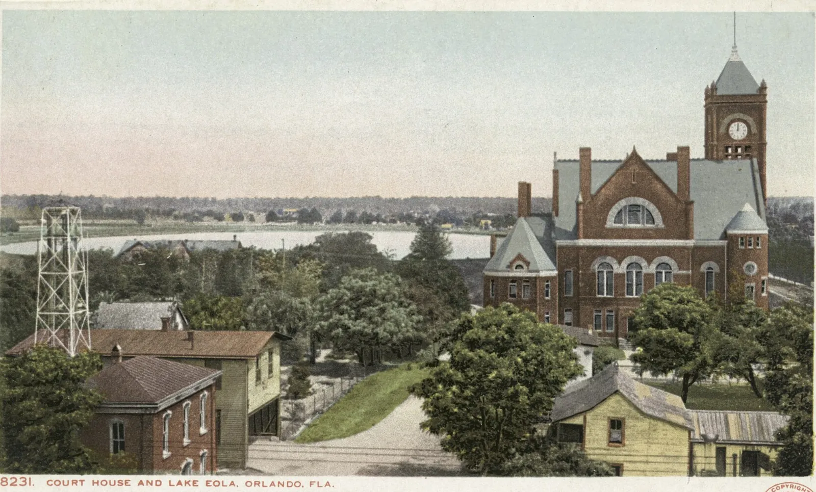
- Court House and Lake Eola postcard view, Detroit Photographic Company, copyright 1904: New York Public Library, via Wikimedia Commons. Public domain.
- Orange Grove and Pineries postcard view, Detroit Photographic Company, copyright 1904: New York Public Library, via Wikimedia Commons. Public domain.
- Glimpse of Lake Eola postcard view, Detroit Publishing Company, copyright 1906: New York Public Library, via Wikimedia Commons. Public domain.
Story sources: Orlando Magazine, the City of Orlando historic preservation districts, the Florida Historical Marker for Dickson Azalea Park and the Washington Street Bridge, Florida Trend and the Camden Living neighborhood history. The sourced district history, street by street, lives on the District Histories page.